

Bucharest visitors can see the load level of public transport in real-time in the Google Maps application. Thus, they can find out in advance how crowded the means of transport to arrive at the station are. The Bucharest Mayor announced this, and Google Maps print screens prove that public transport users in Bucharest have additional information to help them use these vehicles.
Each new public transport vehicle in Bucharest is equipped with several passenger counters. The onboard computer transmits the number of people in the vehicle to the central server, which calculates the degree of occupancy and sends the information to Google Maps.
This function is available on Imperio trams, Solaris trolleybuses, electric buses, Mercedes Hybrid and Otokar buses, so only the most modern vehicles of Bucharest’s public fleet.
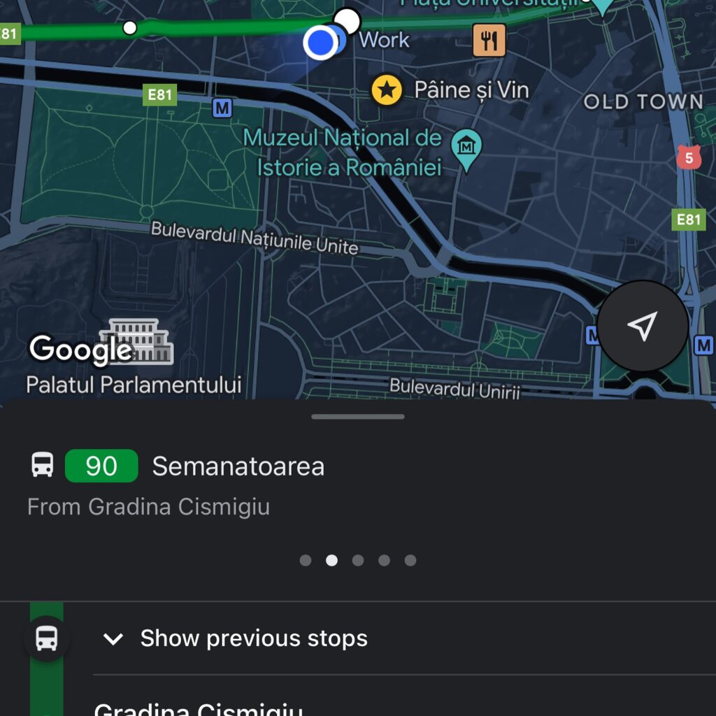
The application indicates the load level, the vehicle’s position, and the waiting times. Bucharest is the only city in Romania with this facility in Google Maps.

